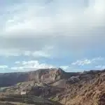
Finding a suitable campsite can be a challenging task, but there are various resources and strategies that can make the process easier. When it comes to free camping, public recreation lands like national forests and the Bureau of Land Management (BLM) in the United States offer numerous opportunities. Additionally, other government offices such as the U.S. Army Corps of Engineers also manage land that may allow camping.
To locate these free campsites, there are several helpful apps available, such as iOverlander, Campendium, Allstays, Sekr, and The Dyrt. These apps provide overlays and valuable information to assist you in finding suitable camping spots. However, it’s important to note that not all dispersed camping areas are suitable for vehicles, so be mindful of the specific regulations and restrictions in each location.
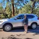
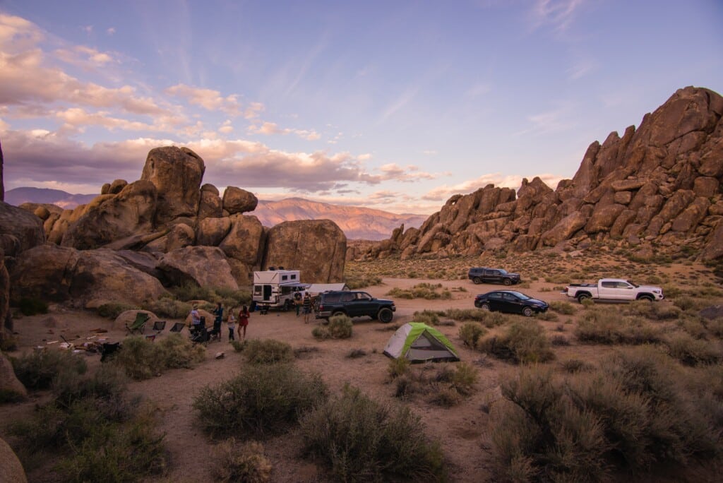
When searching for a campsite, look for signs of vehicle dispersed camping. These sites are typically found along secondary roads and may appear clearer and more organized compared to the surrounding area. Some sites might already have existing fire rings, but if there isn’t one, it’s important not to build a new one.
While the BLM maps may not be the most user-friendly, they offer valuable insights. If you’re using the web-based version on a computer, you can use the map to locate potential dispersed camping areas.
When in doubt, it’s highly recommended to call ranger offices for guidance and information on available camping spots. The rangers can provide insights into cell reception availability and other relevant details that may be important to you.
Avenza Maps is a useful tool to have in your camping arsenal. Although it may have its challenges, once you find the map you need, it becomes a great resource. The app allows you to copy the coordinates of markers and paste them into the map app of your choice, aiding in navigation and locating specific camping areas.
National forest maps are generally straightforward but basic, often in black and white. Pinpointing roads can sometimes be confusing, but if a particular area permits vehicle camping, you’ll notice dots on both sides of the road on the map, indicating dispersed camping areas.
While the aforementioned apps offer great resources, it’s important to exercise caution. Some spots listed by users may not be legitimate or could potentially be on private property, so be mindful and double-check before settling in.
National forests are generally more accessible for finding campsites, but it’s essential to verify whether dispersed vehicle camping is permitted in the specific forest you plan to visit, as rules and regulations can vary.
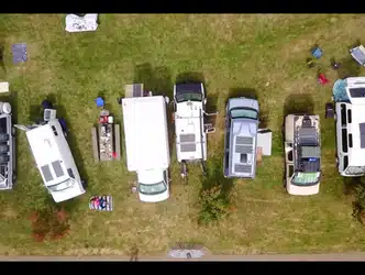
When searching for a campsite, be prepared for a range of road conditions, from small, narrow, winding roads with bumps and potholes to well-paved routes. Look for cleared areas that appear different from the surrounding landscape, indicating potential camping sites.
Locating free campsites requires some effort and research, but with the help of apps, ranger offices, and useful tools like Avenza Maps, you can navigate the process more effectively. Remember to adhere to local regulations, respect private property, and practice Leave No Trace principles to preserve the natural beauty of the areas you visit.
Happy camping and enjoy the diverse landscapes that await you!
Below is a list of the resources mentioned in this blog if you’re interested in learning more:
Bureau of Land Management (BLM)
iOverlander (Apple/Android), Campendium (Apple/Android), Allstays (only available on Apple), Sekr (Apple/Android), and The Dyrt (Apple/Android), Avenza Maps (Apple/Android)